|
Bruce
& Betsy Blais |
|
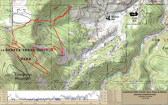
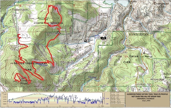
Mountain Biking - Special Trails - ALDERFER, EVERGREEN, COLORADO Alderfer/Three Sisters Park is part of the Jefferson County Open Space System. Buffalo Park Rd. divides the trail system into two parts: the North Side and the South Side. The south side has a lot of moderated climbs and descents on the Evergreen and Ranch View Loops, and includes a "lollipop" spur up to the top of Evergreen Mt. where you hit 8530' in elevation. The north side has a decidedly different character with several very rugged rock climbs and descents. All but the best expert riders can ride the entire north side, so expect to hike-a-bike in a few places. Bruce has ridden this trail twice so far. The first time was June 8, 2014 where he did the south side in a clockwise direction. The next time was July 5, 2014 where he did the south side in the counter-clockwise direction and then did the north side. There are two parking lots at Alderfer. This is the sign for the first one you come to leaving Evergreen. There is a second lot about a mile further out Buffalo Park Rd. Below is a map showing the track, profile and statistics for the first Alderfer rides. This track and profile is for the clockwise direction. You can right-click on the image below and use the "Save Target As" option to down-load a 1MB 11x17" PDF version of the map. You can also click on the image and zoom up to 200% for a detailed view in a separate window. Right click here to down load the GPX file for this ride. The file may want to save as an XML file, so if it does, change the extension to gpx before you save it. The file is a high-resolution track created on the Delorme PN-60W GPS.
The distance ridden was 4.0 miles and the ride time was 1 hr. and 20 min. Climbing was 916 feet and was spread out across the entire ride. The average grade was 8% and the maximum elevation was 8,176' AMSL. This is the kind of trail on which you will use all your gears, and spend a lot of time in 1-1. The grades are not impossibly steep, but go on for some distance, making it necessary to slow down to a sustainable climbing pace. The black track is the Summit Loop which Bruce did not ride due to a thunder storm that was moving in.
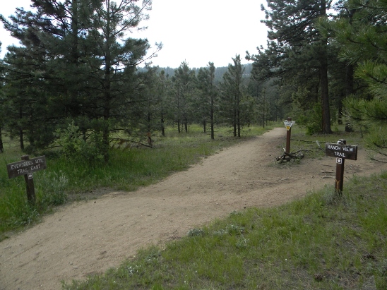
The first intersection you come to is the Evergreen/Ranch View split. To ride clockwise, take the left fork for the Evergreen Trail. The right fork is the Ranch View Trail and has you doing it counter-clockwise. Either way, you end up back at this intersection.
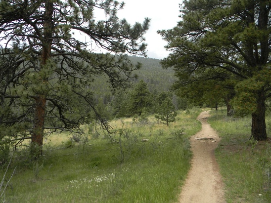
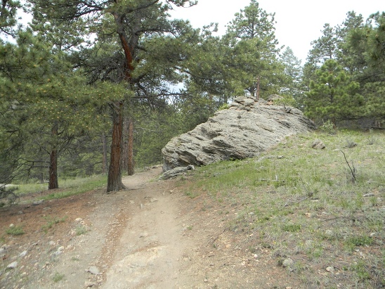
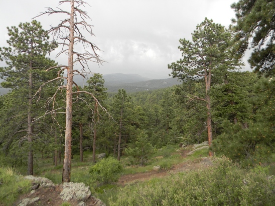
On this ride, Bruce went left to ride Evergreen. The trail starts out as a smooth climb.
A little further up, the grade increases and it gets rockier.
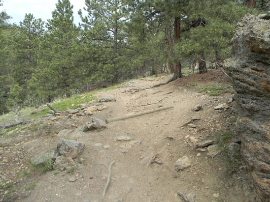
As you go up, the roots, rocks and water logs become more frequent.
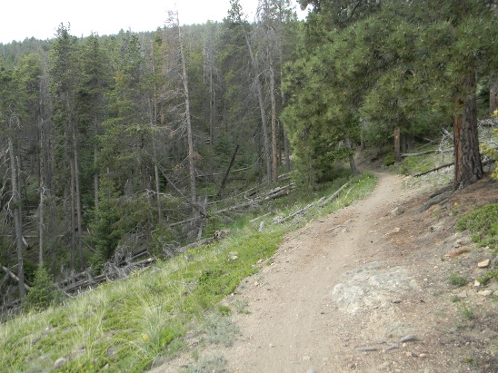
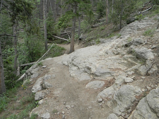
There are a few level spots before reaching the Summit Loop, but not too many. This one starts to climb again just around the bend.
There are a few technical spots, but nothing a rider with solid intermediate skills can't handle.
Skip ahead to the Ranch View trail. Bruce was about to start up the Summit Loop when a thunder storm moved in. Not wanting to be on the mountain during a thunderstorm, he high-tailed it off the mountain.
The second ride was with the Not-Over-The-Hill-Yet mountain biking group of Denver. Below is a map showing the track, profile and statistics for the second Alderfer ride. This track and profile is for the counter-clockwise direction and included part of the north side. You can right-click on the image below and use the "Save Target As" option to down-load a 1MB 11x17" PDF version of the map. You can also click on the image and zoom up to 200% for a detailed view in a separate window. Right click here to down load the GPX file for this ride. The file may want to save as an XML file, so if it does, change the extension to gpx before you save it. The file is a high-resolution track created on the Delorme PN-60W GPS.
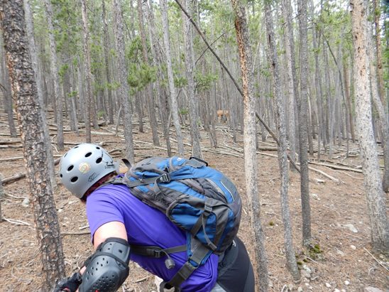
The distance ridden was 7.2 miles and the ride time was 1 hr. and 30 min. Climbing was 1,850 feet and was spread out across the entire ride. The average grade was 9% and the maximum elevation was 8,578' AMSL. This is the kind of trail on which you will use all your gears, and spend a lot of time in 1-1. The grades are not impossibly steep, but go on for some distance, making it necessary to slow down to a sustainable climbing pace. Below is a shot of Janet checking some deer in the woods.
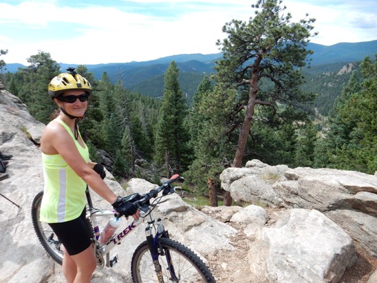
This time the weather was much better and he was able to ride the Summit Loop. Here is a photo of Denise at the summit. She pointed out her house down in the valley below.
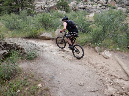
Over on the north side, it was time to ride in the rocks. Below is Bud clearing a rocky climb with a few water bars along the way.
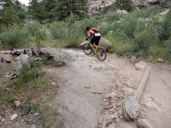
Next up the climb was Josh.
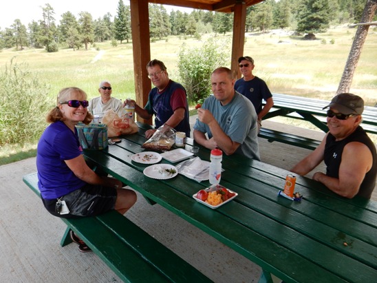
After the ride, it was time for a picnic lunch in one of the dining shelters. That's Janet, Joe, Pat, Monte and Bud at the main table and Phillip in the background.
|
|
Version 0.1, July 21, 2014 |