|
Bruce
& Betsy Blais |
|
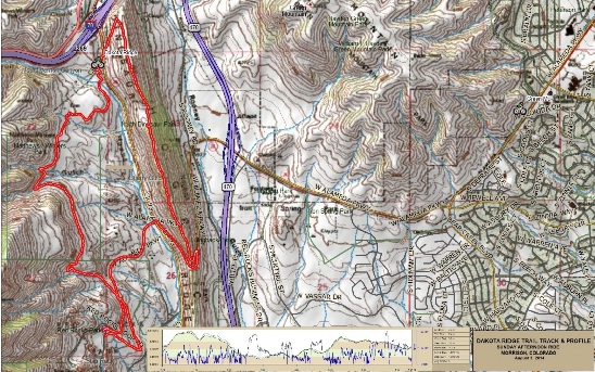
Mountain Biking - Special Trails - DAKOTA RIDGE, COLORADO On August 3rd, 2014, Bruce rode Dakota Ridge, a double black-diamond trail in the eastern foothills of the Rocky Mountains, just west of Morrison, Colorado. The trail was short, with a lot of climbing. Most of the climbing was very technical. Below is a map showing the track, profile and statistics for the Dakota Ridge ride. It was actually two trails: Dakota Ridge going out and Red Rocks coming back. This track and profile is for the clockwise direction. Reverse it for a counter-clockwise ride. You can right-click on the image below and use the "Save Target As" option to down-load a 1MB 11x17" PDF version of the map. You can also click on the image and zoom up to 200% for a detailed view in a separate window. Right click here to down load the GPX file for this ride. The file may want to save as an XML file, so if it does, change the extension to gpx before you save it. The file is a high-resolution track created on the Delorme PN-60W GPS.
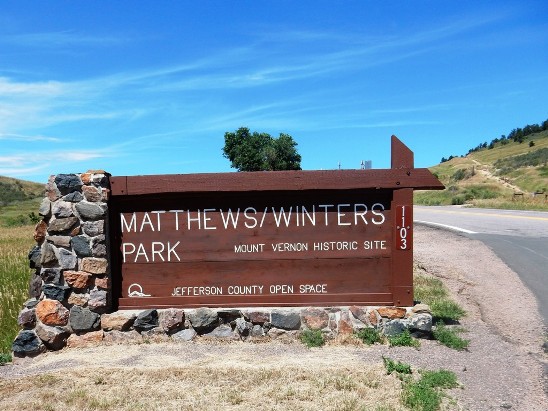
The distance ridden was 7.4 miles and the ride time was 1 hr. and 42 min. Climbing was 1,592 feet and was spread out across the entire ride. The average grade was 8% and the maximum elevation was 6,644' AMSL. This is the kind of trail on which you will use all your gears, and spend a lot of time in 1-1. The grades are not impossibly steep, but are very technical making it difficult to a sustainable climbing pace. The ride started at the Matthews/Winters parking lot, crossed CO-93 and went up the climb seen to the right of the top of the sign.
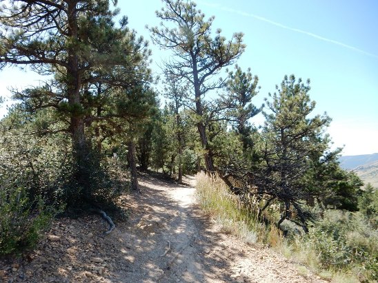
The initial climb was about 250' vertical, and once up top, looked pretty nice.
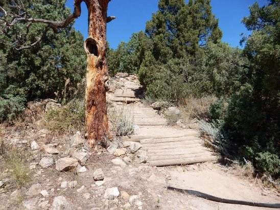
It didn't stay nice for long. Very soon you came to some log ramps leading up to a technical rocky section.
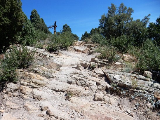
There was no lack of rock on the Dakota Ridge section of the trail. Below is a photo of a typical rocky climb. There were many climbs and descents like this.
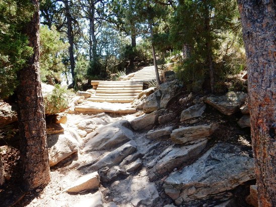
Beyond the rocky climb above, you come to another rocky climb and more log ramps.
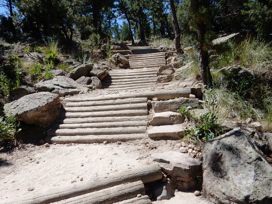
As you turn the corner to the right in the photo above, you are greeted with four more ramps.
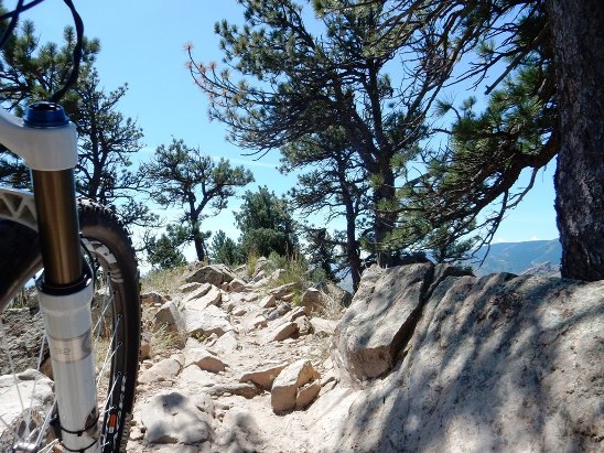
The rock is relentless. The photo below shows another of the many rocky sections.
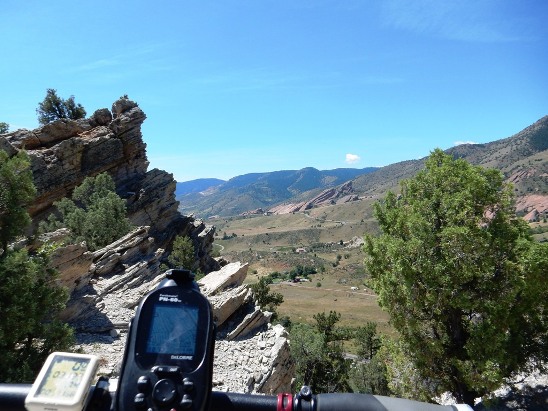
Near the high point on the trail, you get a nice view of Red Rocks in the distance. Ultimately, the trail goes through that area.
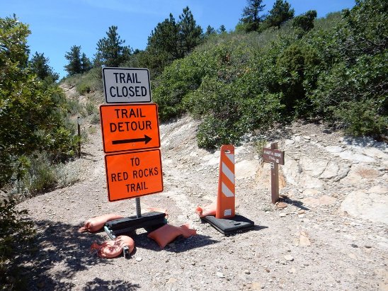
For some reason, part of the Dakota Ridge Trail was closed. Bruce had never seen such elaborate trail closure signage before, but took the detour even though it meant riding pavement to get around the closed section of trail.
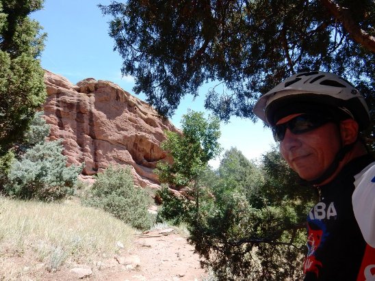
The detour dumped him onto the Red Rocks Trail. Below is a "selfie" he took at the beginning of the Red Rocks trail.
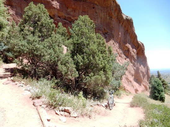
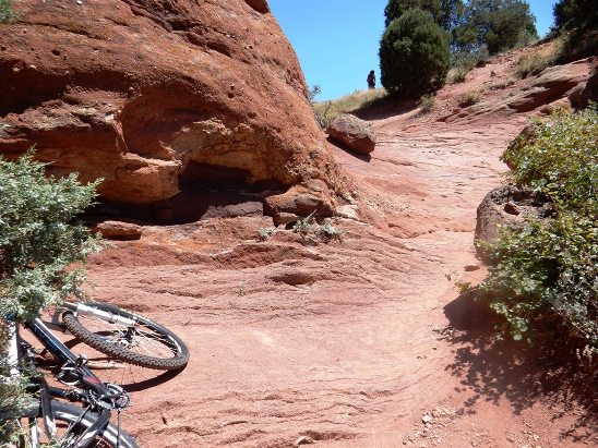
The rock formations along the Red Rocks trail were spectacular. Below is one of his bike along the way.
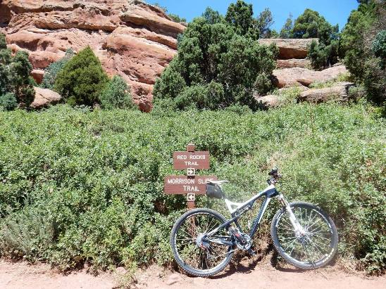
About a third of the way along Red Rocks, he reached the junction of the Morrison Slide Trail.
Just beyond the junction, there was a spectacular climb on rock.
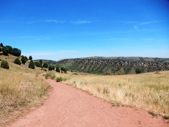
Once up at the top of the climb, he finally encountered some smooth single track going down.
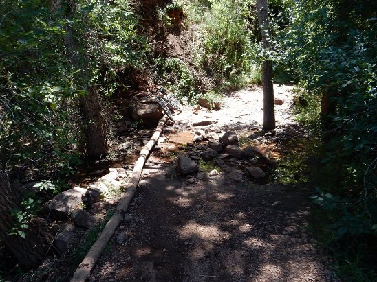
The trail followed the contour of the land, going back into the canyons and valleys. Below is a photo of one of them with a small stream in it.
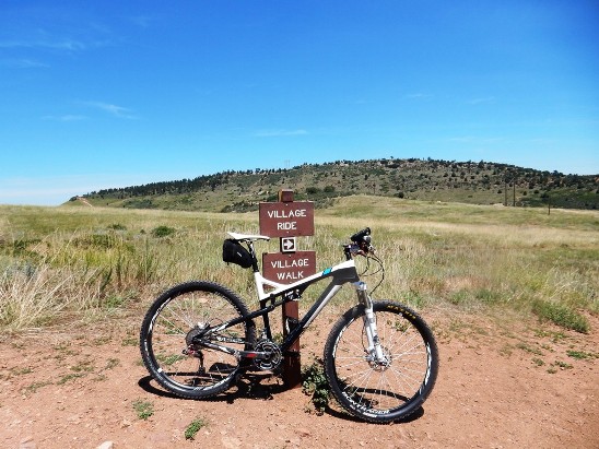
Red Rocks Trail ended at the Village Trail. This trail has two parts: Walking and Riding. Bikers go right and walkers go left.
He has to admit that this trail is one of the toughest little trails he has ever ridden, due in large part to all the technical, rocky sections up on the ridge in the distance. That section of trail is rated double black diamond, and certainly deserves that rating.
|
|
Version 0.1, August 6, 2014 |