|
Bruce
& Betsy Blais |
|
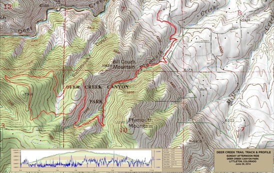
Mountain Biking - Special Trails - DEER CREEK, COLORADO On June 29th, 2014, Bruce rode what he feels is the "worst trail of all time". Of all the places he had ridden, very few came close to the pure agony of riding Duck Creek west of Littleton in the foothills of the Colorado Rockies. The trail was short, extremely rocky and had a lot of climbing, most of which was very technical. Below is a map showing the track, profile and statistics for the Trail Name ride. You can right-click on the image below and use the "Save Target As" option to down-load a 1MB 11x17" PDF version of the map. You can also click on the image and zoom up to 200% for a detailed view in a separate window. Right click here to down load the GPX file for this ride. The file may want to save as an XML file, so if it does, change the extension to gpx before you save it. The file is a high-resolution track created on the Delorme PN-60W GPS.
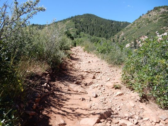
The distance ridden was 7.0 miles and the ride time was 3 hr. and 9min. Climbing was 2,213 feet and was spread out across the entire ride. The average grade was 12% and the maximum elevation was 7,435' AMSL. This is the kind of trail on which you will use all your gears, and spend a lot of time in 1-1. The grades are rocky and brutal, making it difficult to a sustainable climbing pace. The second climb. Strewn with rocks as you can see.
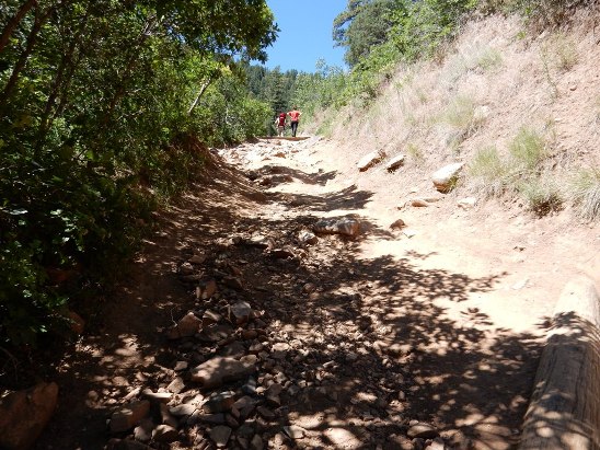
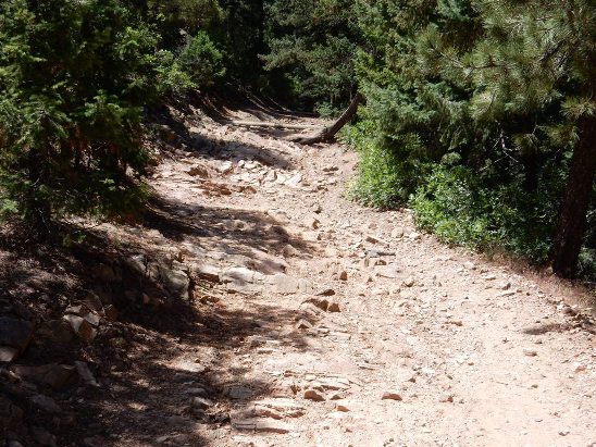
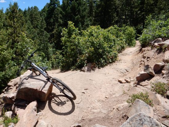
Climbing never really stopped. Here is another section of the trail.
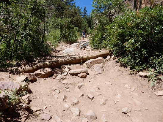
Another notable section along the climb. Bruce made it over the right side of the water log and then hit the big rocks. He laid the bike down and went back for the photo.
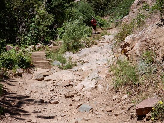
The "infamous Wall". Notice the rider shouldering his bike as he takes the stairs. Bobby Duncan recalls the writeups about it saying it cam be ridden with practice. It maybe do-able if your legs are fresh. By the time I hit the "Wall", the legs were already spent.
Past the Wall, things don't change much. Still rocky, still going up. The biggest challenge on this trail is trying to maintain enough speed to roll the rocks. Really hard considering it is one short, steep climb.
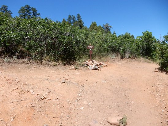
Finally! The top (almost) and some decent trail.
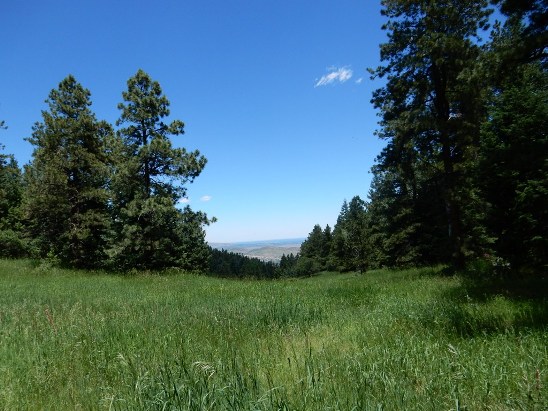
After a bit more civilized climbing, you come to a nice meadow.
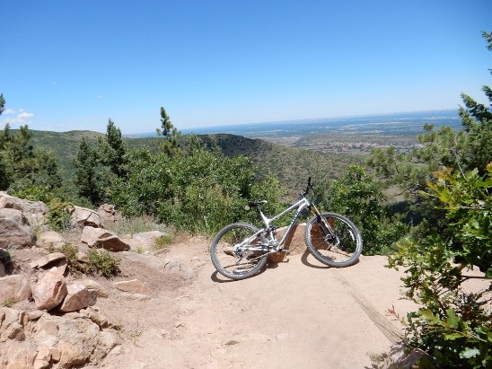
Around the bend is a beautiful overlook. The High-rise buildings in downtown Denver can be seen on the horizon.
Now, it is time for 3.6 miles and 2,213' of descent in the rocky conditions you saw on the way up.
The only positive thing about this ride is that he had a demo TREK Fuel EX 9 while his Superfly was getting a new rear triangle, and the Fuel had a RockShox hydraulic dropping seat post. .
|
|
Version 0.1, July 01, 2014 |