|
Bruce
& Betsy Blais |
|
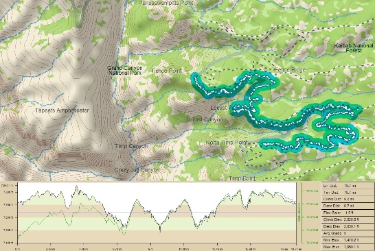
Mountain Biking - Special Trails - Grand Canyon, AZ. In September of 2011, while working in Las Vegas, Bruce and some friends dashed over to the North Rim of the Grand Canyon for what turned out to be the adventure of a lifetime. He stayed with Steve and Jenn in St. George Friday evening and then everyone headed out first thing Saturday morning. Since there was supposed to be a weather front coming through later in the day, the plan was to start riding from the N. Timp trail location instead of at Timp Point and get as close to Parissawampitts Point as possible. The map below shows the area, track profile and ride stats.
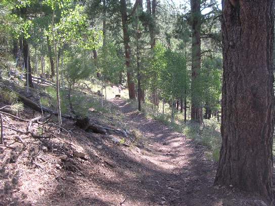
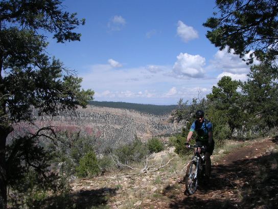
The ride was 9.4 miles out, and another 9.4 miles back. The elevation profile shows how much climbing and descending was involved. This is because the trail descends back into the side canyons and climbs back out to the points. The total ascent was 2,630 feet. The photo below shows the forest and climb in Locust Canyon on the way to Locust Point.
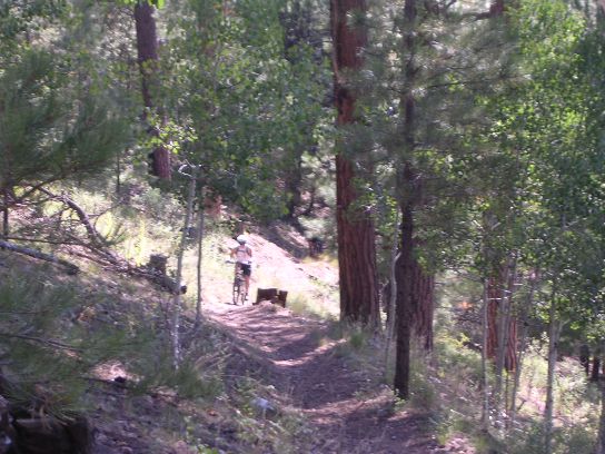
The first climb was a killer. The photo above shows the last 20% of the climb with Steve just barely visible in the distance. The photo below is a telephoto shot of Steve pedaling the end of the climb to the first point.
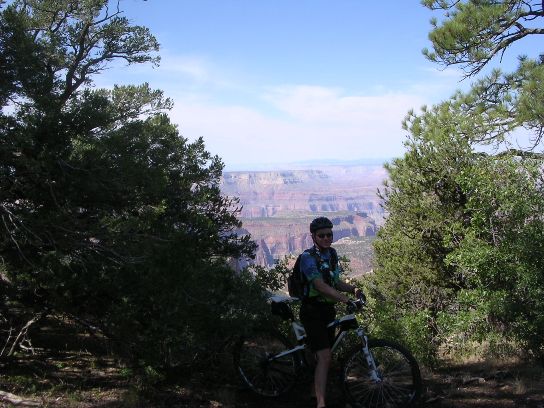
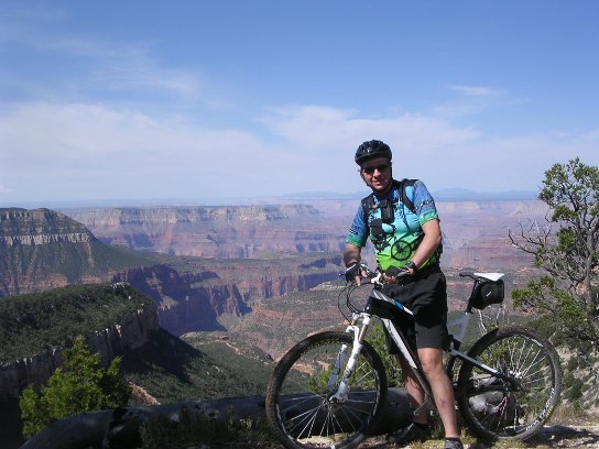
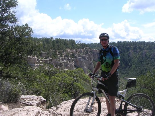
Once up on the point, you start to get a glimpse of what this ride is all about. From here it was on out a little further to the first vista on Locust Point. This vista was jaw dropping to say the least.
And below is a closer shot showing the canyon in more detail.
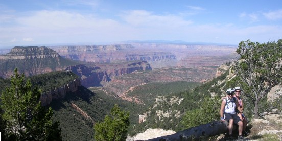
Below is Steve and Jenn at the first vista on Locust Point.
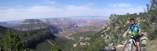
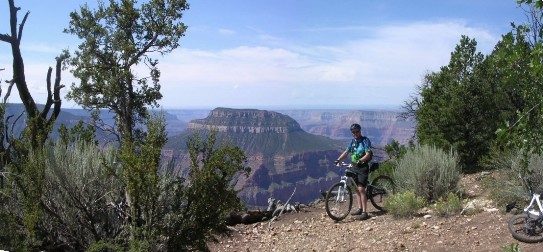
Next is a photo taken from another vista further out Locust Point.
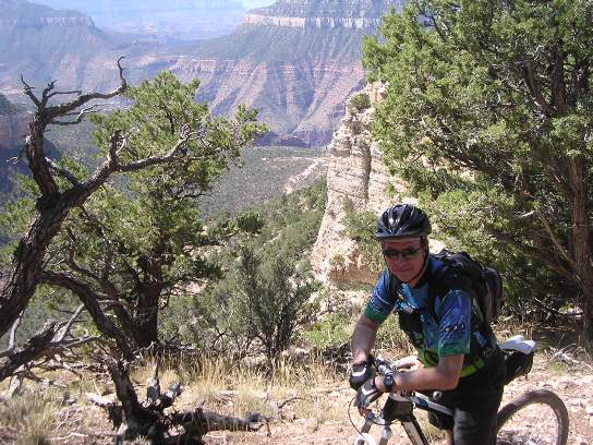
The shot below is looking back towards the first vista in the distance on top of the rocky area.
The next photo is yet another view of the canyon from the trail.
And yet another view from the trail.
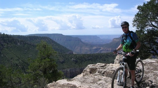
With the weather threatening, it was time to head back. Parissawampitts Point can be seen in the background.
For the record, the ride was 18.7 miles overall with 2,630' of total ascent. The total trail length is 18 miles one way.
|
|
Version 1.0, September 14, 2011 |