|
Bruce
& Betsy Blais |
|
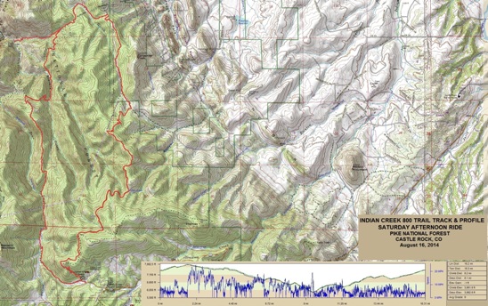
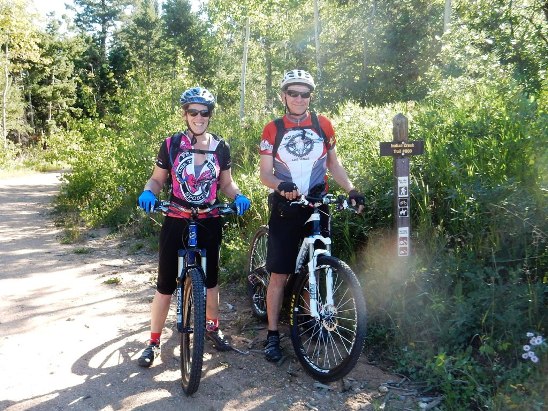
Mountain Biking - Special Trails - INDIAN CR 800 TRAIL, COLORADO On August 16, 2014, Bruce rode what he considers one of the prettiest trails he has ridden in Colorado. He shared this experience with his friend, Anne Taylor. Below is a map showing the track, profile and statistics for the Indian Creek 800 Trail ride. This track and profile is for the counter-clockwise direction. Reverse it for a clockwise ride. You can right-click on the image below and use the "Save Target As" option to down-load a 1MB 11x17" PDF version of the map. You can also click on the image and zoom up to 200% for a detailed view in a separate window. Right click here to down load the GPX file for this ride. The file may want to save as an XML file, so if it does, change the extension to gpx before you save it. The file is a high-resolution track created on the Delorme PN-60W GPS.
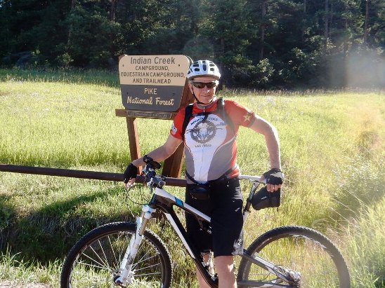
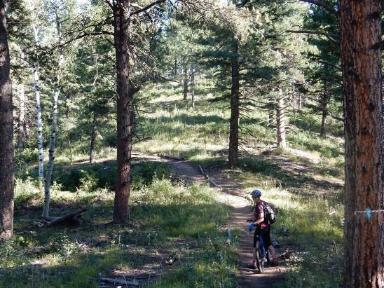
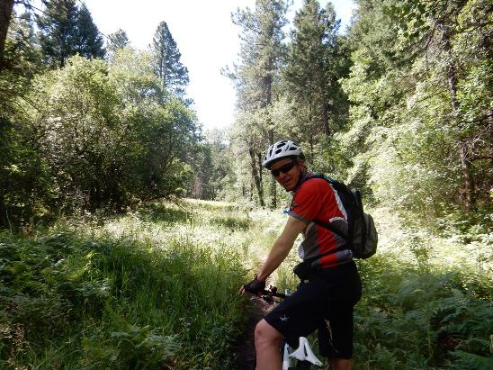
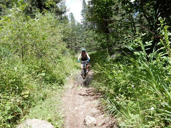
The distance ridden was 16.3 miles and the ride time was 4 hr. and 30 min. Climbing was 3,962 feet and was spread out across the entire ride. The average grade was 9% and the maximum elevation was 7,883' AMSL. This is the kind of trail on which you will use all your gears, and spend a bit of time in 1-1. Some of the grades are impossibly steep, with several of them between 25% and 30% in the second half of the ride. Others are more gradual, but go on for some distance, making it necessary to slow down to maintain a sustainable climbing pace. The photo below shows Bruce at the entrance to Indian Creek.
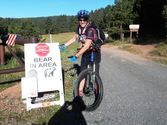
Below is Anne pointing out one of the trail hazards.
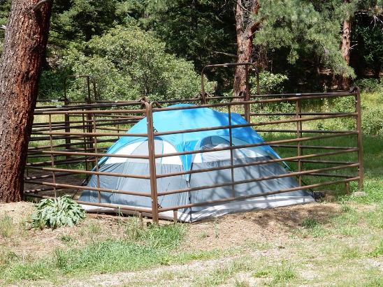
Down in the campground, some equestrian campers showed how to "bear proof" a tent.
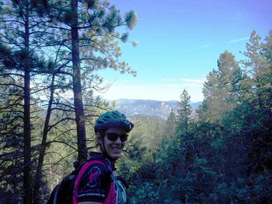
After an initial switch-back climb, the trail became quite enjoyable as shown by Anne below.
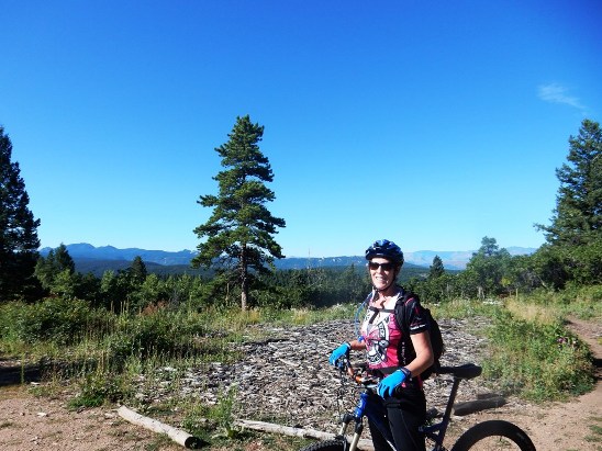
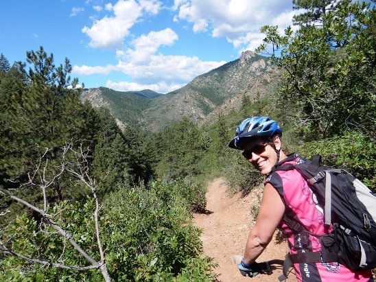
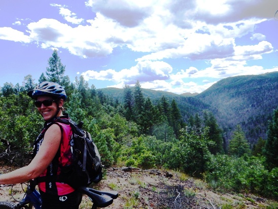
After a bit more climbing, they were in a clearing on top and rewarded with a beautiful view.
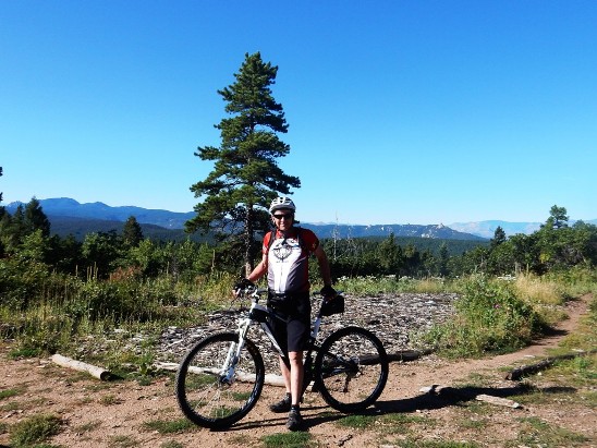
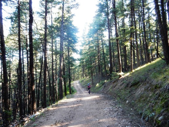
Anne and Bruce took turns with the camera. At this point the trail became a double-track Jeep road.
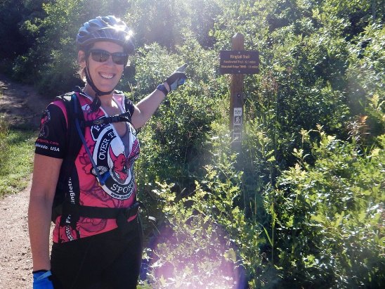
Further down the 800 Trail, they came to the intersection with the Ringtail trail. This trail is quite famous in the Denver area.
A little further down, Anne and Bruce came to an 800 Trail marker. Some local runners offered to take a photo of them together.
The ride down the double-track was breath taking. Bruce stopped to take a photo as Anne peddled on.
The view off to their left was quite impressive. Here is a photo of Bruce along the way.
They swapped the camera and Bruce got a shot of Anne at the same location.
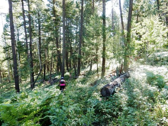
They followed the double-track to a power line, at which point the trail turned back into single track through lush under-brush.
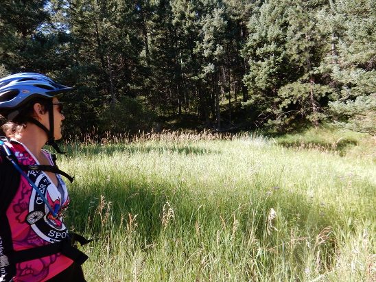
Further down the trail opened up into a beautiful meadow.
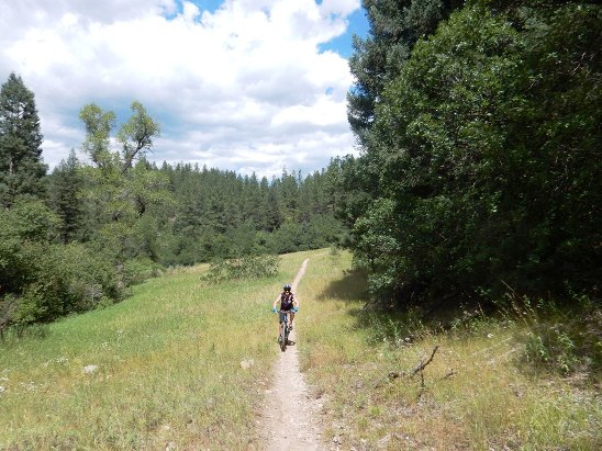
From this point, the trail travelled in and out of forest and meadows.
Even some of the climbs up the valleys were in long, narrow meadows.
At this point, they missed their turn and started down to the 1776 Colorado Trail. Anne really liked that down-hill. However, since they made a wrong turn, they had to climb back up to get back on track. That wouldn't have been too bad except for the 25% to 30% grades that lay ahead.
A few more meadows to ride before the hard part.
There were several streams and creeks along the way. Here is Anne crossing one of them.
Then came the killer climbs. They ended up walking a number of 25% to 30% grades, but were rewarded on top.
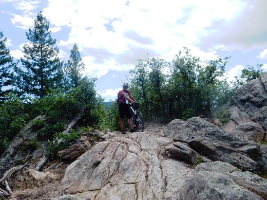
There were also some rather technical sections on top. They wouldn't have been too bad except they had been riding for almost 4 hours at this point.
They survived! Even though the ride took four and a half hours, and they were quite happy, albeit, very tired. Next time, they will ride the loop clockwise to get the steep climbs and technical sections out of the way at the beginning of the ride.
|
|
Version 0.1, August 16, 2014 |