|
Bruce
& Betsy Blais |
|
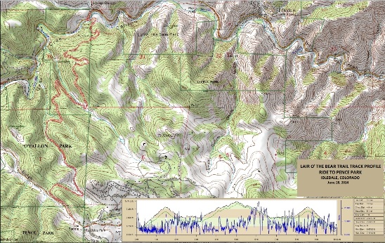
Mountain Biking - Special Trails - LAIR OF THE BEAR, COLORADO On June 28th, 2014, Bruce rode the Lair of the Bear trail with the Not Over the Hill Yet mountain biking group. This was an out-and-back ride in the foothills west of Denver from the main trailhead to Pence Park. Below is a map showing the track, profile and statistics for the Lair of the Bear Trail ride. Since it was an "out and back" ride, the track is for both directions. You can right-click on the image below and use the "Save Target As" option to down-load a 1MB 11x17" PDF version of the map. You can also click on the image and zoom up to 200% for a detailed view in a separate window. Right click here to down load the GPX file for this ride. The file may want to save as an XML file, so if it does, change the extension to gpx before you save it. The file is a high-resolution track created on the Delorme PN-60W GPS.
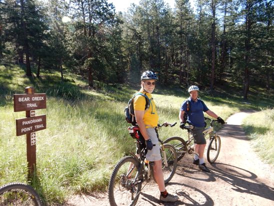
The distance ridden was 10.0 miles and the ride time was about 1 hr. and 30 min. Climbing was 2,551 feet and was spread out across the entire ride. The average grade was 9% and the maximum elevation was 7,474' AMSL. This is the kind of trail on which you will use all your gears, spending time in 1-1 on the climbs and 3-9 on the open down hill runs. The grades are not impossibly steep, but go on for some distance, making it necessary to use the lower gears to maintain a sustainable climbing pace. The photo below shows "Diesel" and Pat on the Panorama Point Trail.
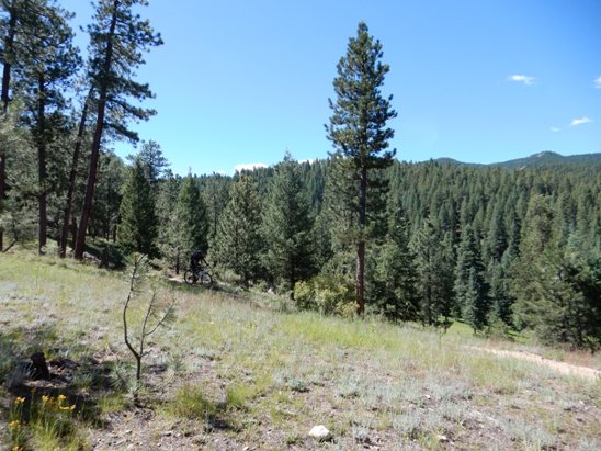
Below is a photo of N coming out of the trees on one of the nice down hill runs.
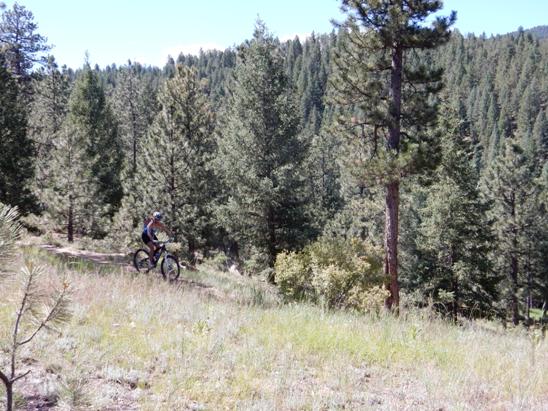
Below is a photo of N coming out of the trees on the same down hill run.
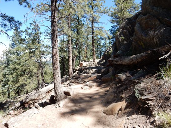
A photo of one of the technical descents ridden on the way out. It was now a technical climb.
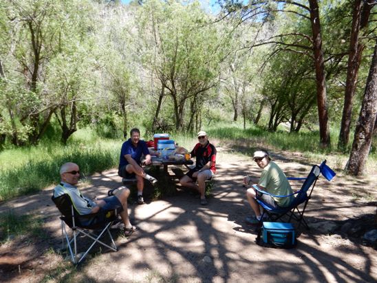
Below is a photo of the traditional after ride picnic at a park near the trail head.
It includes Joe, Pat, Diesel and Josh.
|
|
Version 0.1, October 17, 2014 |