|
Bruce
& Betsy Blais |
|
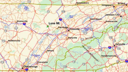
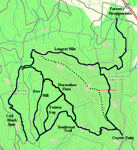
Mountain Biking - Special Trails - Lone Mt. Bruce's second-out-of state ride was at Lone Mt. Tennessee near Knoxville. Again, he was in the area on business and had an opportunity to ride a great trail. Lone Mt. is located in eastern Tennessee, just west of Oak Ridge and Knoxville. It is shown by the green star in the map below.
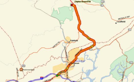
The trail is reached by taking Exit 347 off I-40 near Harriman, TN, and travelling up US-27 to Lone Mt. State Forest. The trail head is on Clayton Howard road across from the Forestry offices.
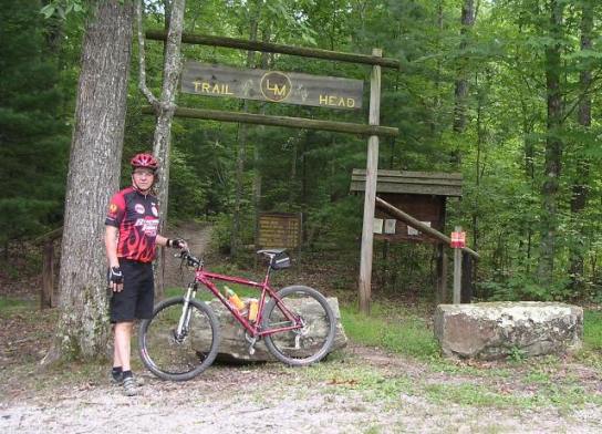
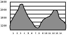
According to his GPS receiver, he did 14 miles of trail with a cumulative climbing distance of 1,960 feet. The trailhead. Note the original frame is in the bike. I broke it a month later and had to get it replaced. I also ended up replacing the disk brakes too. They really got a workout on the way down.
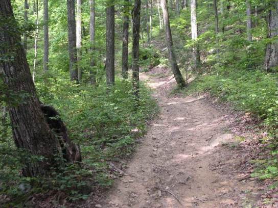
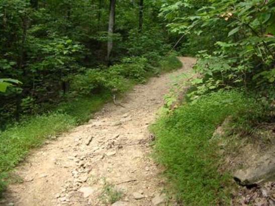
Lone Mt. is either up or down. There isn't much flat. The shot below shows one of the initial climbs. They wouldn't be so bad except the steep sections go on for 500' to 1,000' at a time. The trails are not narrow single track like the ones in Texas, but are designed to accommodate ATVs.
In places the trail is steep and rocky too, making it hard to get traction on the way up. They also make for some real interesting braking on the way down.
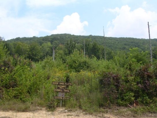
This is Horse Shoe Flats up on the mountain. As you can see, it's not too far below the peak.
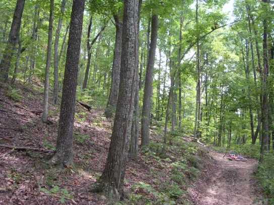
The next photo shows a typical turn and climb. The grade is easily 40% and goes on for hundreds of feet. I rode it as far as I could in my "granny-gear" and then walked the rest.
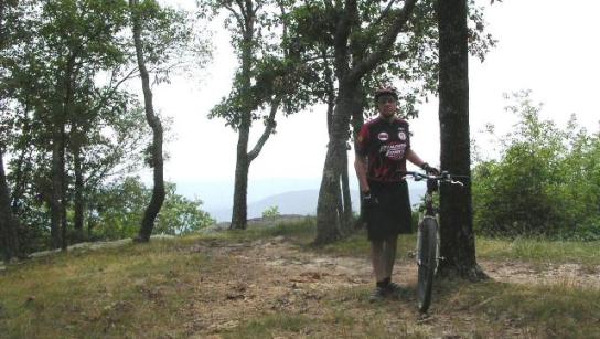
This is Bruce at the top. At this point he is 1,000' above the trailhead.
The trail map from the Lone Mt. website is shown below.
Like was said before, there isn't much "flat". It is all up or down as the profile below shows.
|
|
Version 0.2, October 16, 2011 |